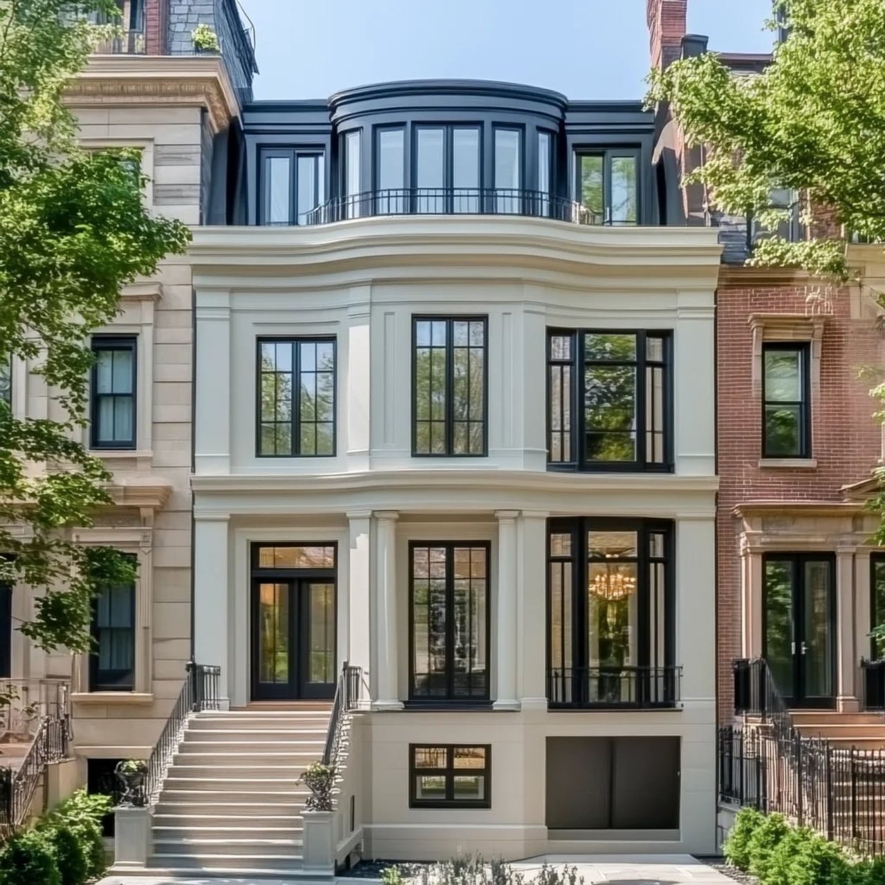
If you are drawn to Boston’s waterfront, you are probably not just thinking about a view. You are thinking about how a neighborhood feels when the harbor is part of your everyday routine, from morning walks to dinner nearby to easy access across downtown. The Harborwalk plays a major role in that experience, and understanding it can help you see why waterfront living in Boston feels so distinct. Let’s take a closer look.
Harborwalk defines waterfront living
Boston’s Harborwalk is best described as a public waterfront path that runs roughly 40 to 45 miles along the city’s shoreline. Official sources use slightly different mileage figures, but they agree on the bigger point: the Harborwalk connects neighborhoods across Boston’s edge, including Downtown, the North End, East Boston, Charlestown, Fort Point, South Boston, and Dorchester.
For the Waterfront, that matters because the Harborwalk is not a small promenade tucked behind a few buildings. Boston planning materials describe it as a continuous public walkway at the water’s edge, with parks, seating, art, cafes, exhibit spaces, interpretive signage, and water transportation facilities. In practical terms, it helps shape the neighborhood as a lived-in public realm, not just a backdrop.
Waterfront feels connected
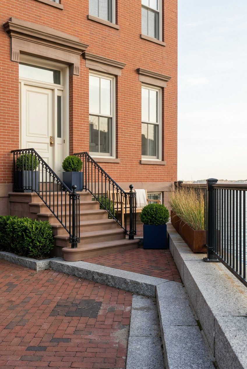
The downtown waterfront, often defined through the Wharf District, is a mixed-use shoreline neighborhood with named wharves, civic open spaces, businesses, cultural anchors, and a growing residential population. According to the City of Boston, the district includes places such as Long Wharf, Central Wharf, Rowes Wharf, India Wharf, Russia Wharf, and nearby Greenway park parcels.
That layout gives the area a very different feel from a neighborhood built around one main street. Here, your orientation is often the harbor itself, the wharves, and the public spaces between them. The Harborwalk ties those pieces together, which is a big reason the area feels open and interconnected.
Public access shapes the experience
One of the most important details for buyers is that public waterfront access is built into how the area functions. Boston planning notes that Chapter 91, the Public Waterfront Act, requires new waterfront development to be set back from the water so the public pedestrian path stays accessible year-round.
That means the water’s edge remains part of daily neighborhood life. For residents, this supports a sense of openness that can be hard to find in dense urban settings. It also reinforces why Boston’s waterfront lifestyle is tied to shared public space as much as private real estate.
Daily routines look different here
The Harborwalk changes how you move through the day. Because it includes parks, resting areas, open harbor edges, and seating, it naturally supports walking, running, dog-walking, and simply spending time outdoors by the water.
This is one of the clearest ways the Harborwalk shapes waterfront living. Instead of treating open space as a destination you have to plan for, the neighborhood places it directly along your route. A quick coffee, a harbor walk, and an errand downtown can all fit into the same stretch of the day.
Christopher Columbus Park adds everyday green space
Christopher Columbus Park is one of the best-known open spaces in the area. The City of Boston lists it at 110 Atlantic Avenue and notes features that include a playground and spray play.
It also hosts recurring public events, including the annual trellis lighting. That gives the waterfront a stronger neighborhood rhythm across seasons. It is not only scenic in good weather. It stays socially active and visible throughout the year.
The Aquarium area supports a walkable lifestyle
The New England Aquarium at 1 Central Wharf is one of the area’s defining anchors. Its location helps show how closely the Waterfront connects to nearby parts of downtown Boston.
According to the Aquarium, it is a short walk from the North End, Faneuil Hall and Quincy Market, Government Center, and the Financial District. It is also about 100 yards from the MBTA Blue Line Aquarium stop. For many buyers, that supports the idea that waterfront living here can feel highly walkable and well connected without relying heavily on a car.
Harborwalk blends culture, history, and movement
The Waterfront is appealing partly because it combines daily convenience with a strong sense of place. The Harborwalk links cultural, recreational, and historic destinations, which helps the neighborhood feel civic and layered rather than isolated.
That is especially noticeable around Long Wharf and Central Wharf. These are not simply addresses near the water. They are part of Boston’s long maritime story and still function as active public spaces today.
Long Wharf is more than a landmark
Long Wharf is a National Historic Landmark with deep maritime significance. It also remains useful in the present, which is part of what makes waterfront living here feel dynamic.
The National Park Service notes that Long Wharf South serves ferries to the Charlestown Navy Yard as well as seasonal commuter and sightseeing cruises. Public ferries to Georges Island and Spectacle Island depart from Long Wharf North. So the harbor is not only something you look at from home or during a walk. It is also a transportation corridor.
Water transit is a real advantage
For residents who value optionality, water transportation adds another dimension to the neighborhood. The Harborwalk includes water transportation facilities, and Long Wharf remains one of the clearest examples of how the harbor can support movement as well as recreation.
That said, buyers should understand the nuance. The National Park Service notes that ferry service can be weather-dependent. It is a meaningful lifestyle benefit, but it should be viewed as part of a broader mobility picture that also includes transit and walkability.
Dining and leisure feel integrated
A big part of waterfront appeal is how easily leisure fits into ordinary life. Harborwalk materials note that the route includes cafes, while the Aquarium area sits within walking distance of major dining and visitor destinations, including the North End and Quincy Market.
That makes the neighborhood feel fluid and convenient. You can combine a harborfront stroll with lunch, meet friends nearby without much planning, or move easily between the water and downtown activity. For buyers seeking a turn-key urban lifestyle, that kind of convenience often matters as much as the view itself.
The shoreline is still evolving
One of the smartest ways to understand Boston’s waterfront is to see it as an active shoreline, not a finished one. The city’s Resilient Boston Harbor plan highlights work focused on resilient, accessible open spaces and prepared buildings and infrastructure in Downtown and the North End.
The plan points to projects involving Christopher Columbus Park, Langone and Puopolo Park, Sargent’s Wharf, and enhanced water transportation at Long Wharf. For anyone considering the Waterfront, this is an important reminder that long-term value is connected to more than architecture and location. It is also tied to public-realm investment and flood-resilience planning.
Why resilience matters to buyers
When you buy on the waterfront, you are buying into both a lifestyle and a changing urban edge. Public planning around resilience can influence how open spaces function, how infrastructure performs, and how the neighborhood continues to adapt over time.
For luxury buyers in particular, that broader context matters. It adds another lens through which to evaluate the waterfront, alongside design, service, building quality, and access. In Boston, shoreline living is shaped by both the harbor you see today and the planning that supports it for the future.
What this means for waterfront buyers
If you are considering a home on Boston’s Waterfront, the Harborwalk should be part of how you evaluate the neighborhood. It helps explain why the area feels open, active, and unusually connected to both downtown and the harbor itself.
It also helps you look beyond a single building or view line. The strongest waterfront lifestyle here is created by the combination of public access, open space, culture, transit, and the character of the wharves. That broader setting is what gives the neighborhood its staying power.
For buyers who want a polished urban experience with water at the center of daily life, the Harborwalk is not a side feature. It is one of the main reasons the Waterfront lives the way it does.
If you are weighing a move to Boston’s Waterfront or preparing to position a luxury residence for sale, Beth Dickerson offers the local market knowledge, concierge service, and polished strategy to help you move with confidence.
FAQs
How long is Boston’s Harborwalk?
- Official sources vary slightly, so the safest description is that the Harborwalk runs roughly 40 to 45 miles along Boston’s shoreline.
Is Boston’s Waterfront mainly residential?
- No. The Wharf District is a mixed-use waterfront neighborhood with wharves, businesses, civic open spaces, cultural destinations, and a growing residential population.
Can you live on Boston’s Waterfront without a car?
- It is possible for many residents because the area offers walkable access to downtown destinations, the MBTA Blue Line at Aquarium, and ferry service from Long Wharf, although water transit can be weather-dependent.
Why does the Harborwalk matter for Boston waterfront homes?
- The Harborwalk shapes daily life by providing year-round public access to the water’s edge, linking parks, seating, cafes, transit access, and cultural destinations across the waterfront.
How does resilience planning affect Boston’s Waterfront?
- The city’s Resilient Boston Harbor planning shows that the shoreline is still evolving through projects focused on accessible open space, infrastructure readiness, and waterfront mobility in Downtown and nearby areas.